Burton Pynsent monument circular walk 3.09 miles


Sat atop Troy Hill near the village of Curry Rivel in South Somerset, Burton Pynsent monument is a striking 43-metre column with far-reaching panoramic views over the Somerset Levels and distant Quantock Hills.
Conceived by the renowned landscape designer Capability Brown and built in the late 18th century, the monument commemorates Sir William Pynsent, a wealthy landowner who left his estate to former Prime Minister William Pitt the Elder in gratitude for his opposition to a tax on cider. This connection earned the monument its nickname, ‘The Cider Monument.’
This walk is a delightful mix of gentle trails weaving through fields and woodlands, all topped off with stunning countryside views and the promise of a fantastic pub at the finish line. It took us about an hour and forty minutes to complete—though we did have three kids in tow, which always adds a bit of extra time (and drama!).
Fair warning for those with toddlers: this might stretch little legs too far. Our four-year-old ended up hitching a ride for most of the walk—not because it was impossible for him, but because he was hungry and hit his head falling over. On a better day, he probably would have tackled more of it without issue.
Love Somerset? Why not follow me on Instagram, or join the Down Somerset Way Facebook group
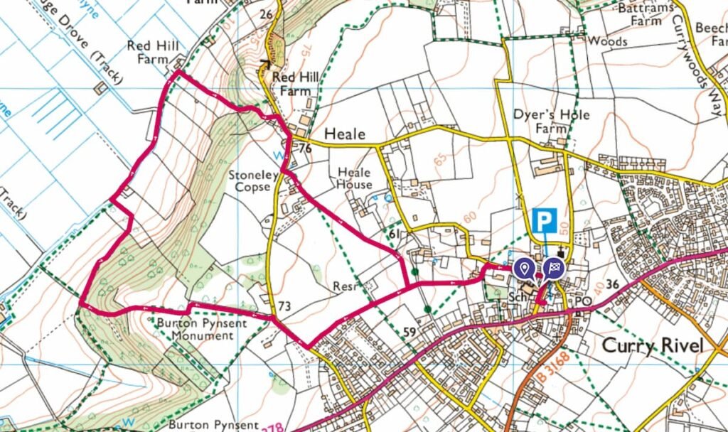
Map of Burton Pynsent walk
For all the Somerset family walks featured on my website, I use the OS Maps app, but it’s a good idea to have an Ordnance Survey paper map as well (Somerset isn’t renowned for its phone signal!). For this walk you need the OS Explorer Map 128 for Taunton and Blackdown Hills.
This walking route goes in a clockwise direction starting and ending at the ‘P’ sign (The Firehouse car park).
Burton Pynsent Monument walk info
DISTANCE OF WALK: 3.09 miles
WALK TYPE: circular
PARKING: There is parking at The Firehouse Somerset in Curry Rivel, the start and end of the walk. Click here for Google Map Point, postcode is TA10 0HE.
WALK HIGHLIGHTS: Wide open space, beautiful views over rolling countryside, a good country pub at the end.
HOW LONG DOES IT TAKE: Around one hour and forty minutes.
PUBLIC TOILETS: There are no public toilets on this walk, but you will find some inside The Firehouse pub.
TOTAL ASCENT: 104 metres.
The Firehouse to Burton Pynsent Monument circular walk
- START: Click here for Google Map point
- Grid reference: ST3909 2524
- Postcode: TA10 0HE
- What3words: ///cheat.cling.conceals
This route follows the route pictured above, in a clockwise direction.
- Head out of The Firehouse car park and turn right up Church Street for a short way, then turn left into Water Street.


2. Follow the public footpath, round past Waterstreet Farm buildings, and then into a field.
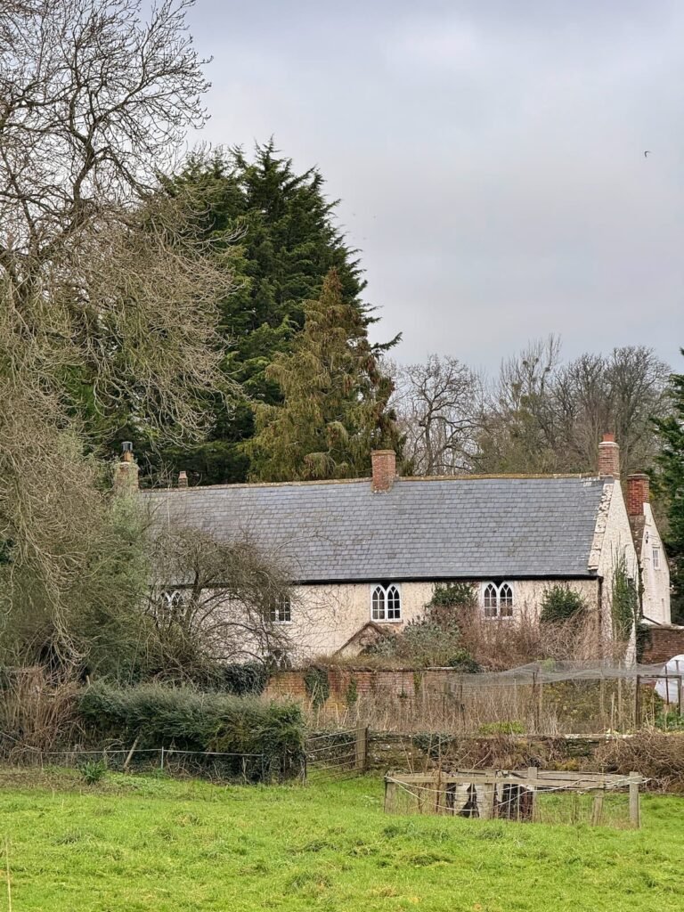
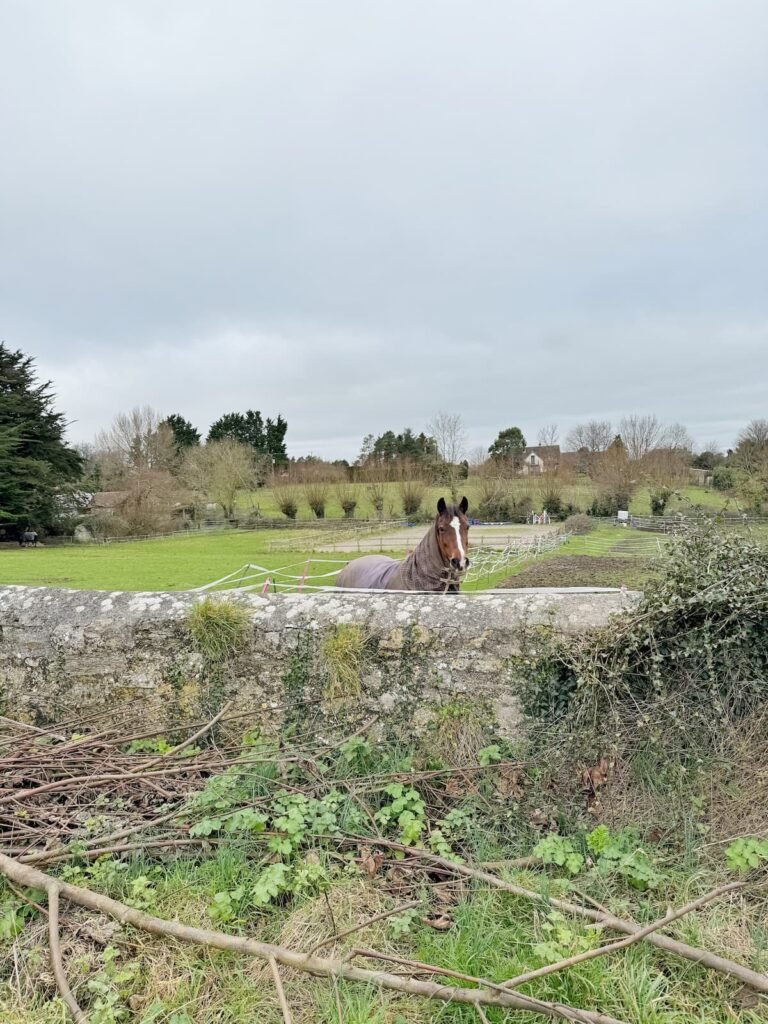
3. Follow the footpath across the field, keeping the stone wall on your right until you reach the stone stile at the other side of the field.

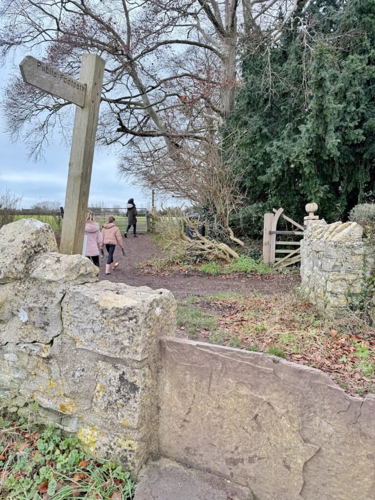
4. Cross over the track and head towards the public footpath sign on the other side, through the gate into another field.
5. Head straight on and take the footpath which runs along the back of Chatham Place housing estate.

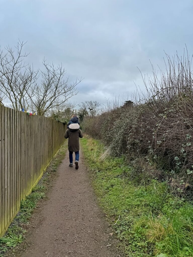
6. Turn right when you reach Heale Lane and walk along the quiet road for a few metres until you spot the footpath on your left.
7. Walk along the footpath (with Stoneley House on your right hand side) and go through the gate into the field. Here you will be able to see the Burton Pynsent Monument in the distance.
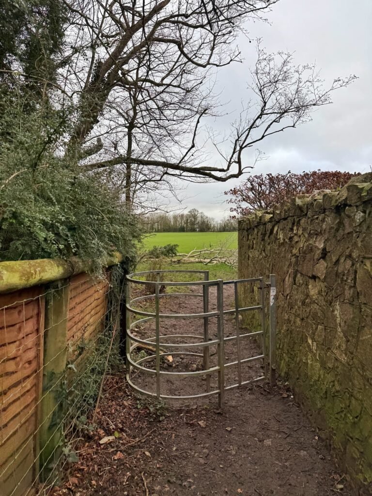
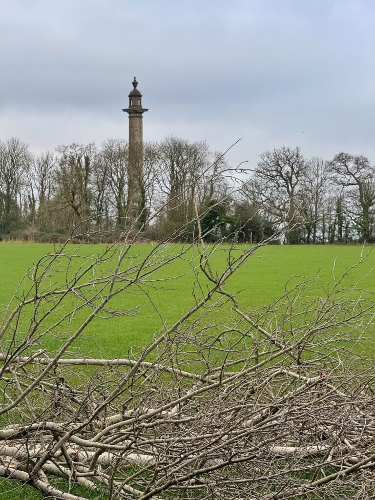
8. Walk along the edge of the field, until you reach the end. Turn left and head straight on for a few metres until you see the gate leading to the monument.
9. Follow the field path towards the cider monument, your reward here is some sensational views over Somerset!


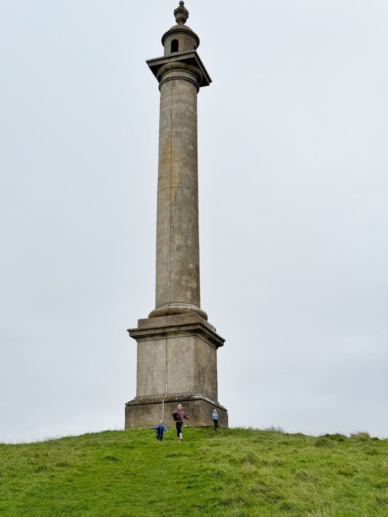

10. Once you’ve snapped some piccies, you should see a path running down the middle of the field on the other side of the monument towards a gate at the bottom of the hill.
11. Go through the gate and follow the path through the trees of Stoneley Copse until you reach a stile.
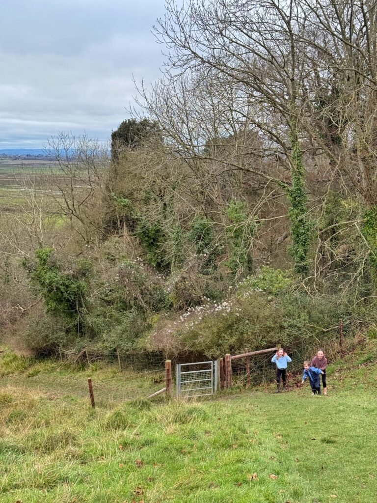
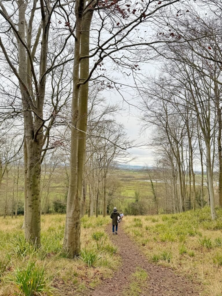
12. Cross over the middle of the field to a second stile and then take a left towards South Drove farm track.
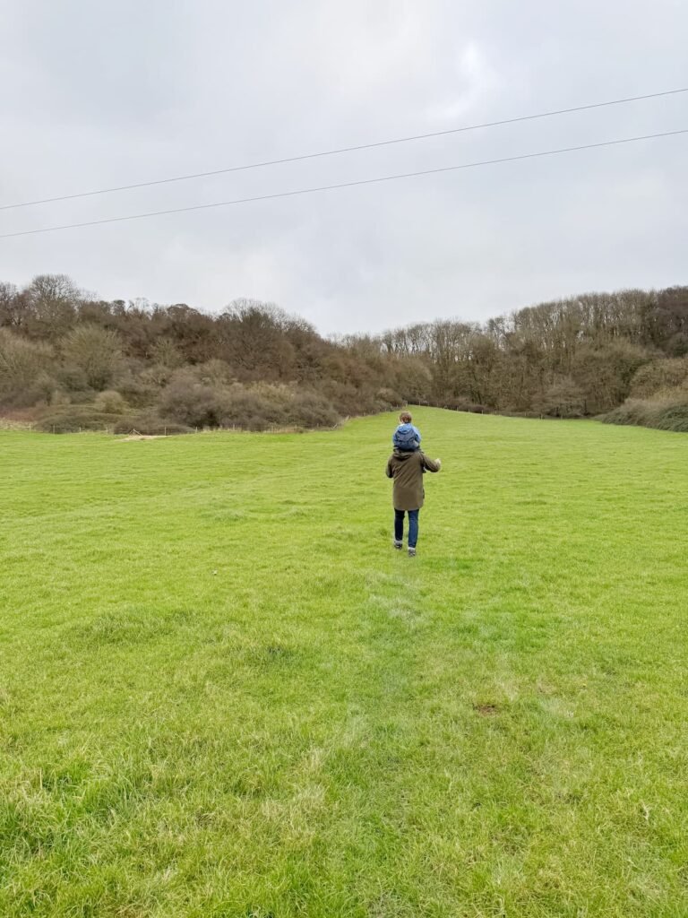
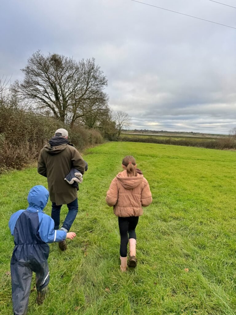
13. Walk along this track until you reach Red Hill Farmhouse, then cross into the field on your right and follow the footpath up the hill to the far left corner of the field.
14. Walk through the trees of Stoneley Copse, taking the right hand path towards Heale Lane, then follow the road round to the right.
15. Turn left at the footpath on Heale Lane and walk back across the fields which you crossed on the way out (but this time on the far side). Past the impressive grey stone Heale House building on your left.
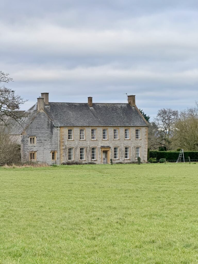
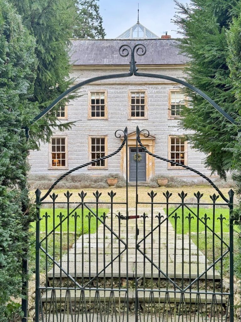
16. Follow the footpath round the edge of the field until you reach the Peel Barton track. Cross over the track to the stone stile and retrace your steps back past the farm houses to Water Street, turning right down Church Street back to The Firehouse. After all that walking you deserve a little something from the pub…go on!
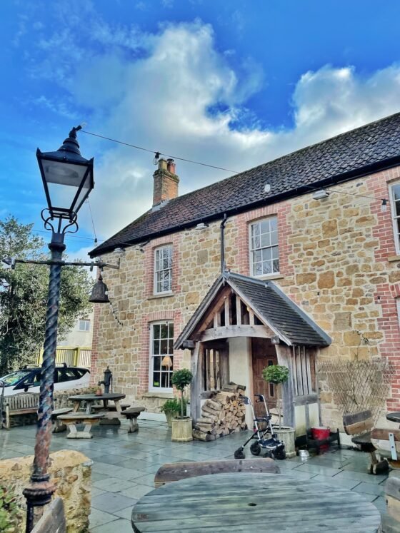
17. A former forge, nowadays The Firehouse Somerset in Curry Rivel is a village pub that has been lovingly restored with a characterful mix of old and new. Think chunky wooden beams, a crackling fire, faux walls, tractor seat bar stools, mismatched chairs and tables, and vibrant fabrics—and you’ve got a cosy, contemporary space.
18. They’re famous for their stone-fired pizzas (trust me, you’ll want to try one) which are served Mon-Thurs from 5-8.45pm, Fridays 3-8.45pm and weekends from 12-8.45pm. Their other menus have different timescales, but feature everything from brunch, to pub classics to superfood salads. Oh, and you can take the pizzas to go if you’re not in the mood to sit down.


Down Somerset Way is a free online resource designed to help you plan your Somerset adventures. If you’ve found it helpful, you can show your support by buying me a coffee. Thank you!
Liked this Cider Monument walk in Somerset? You might also like:

