Pedal power: family-friendly cycling in Somerset


As my children get older, the mere mention of going for a walk sparks an instant protest, despite their eventual enjoyment once we’ve finally managed to extract them from the house. Suggest heading off on a bike ride, however – a little family-friendly cycling in Somerset – and the little whippersnappers are fully geared up – shoe-ed, helmet-ed and clothed (with sparkling clean teeth), in a shot, and eager to hit the road.
With this in mind, and envisioning summer days pedalling through Somerset’s countryside, pausing to picnic in cider orchards, I’ve been researching off-road, family-friendly cycling routes in Somerset.
The county’s varied landscapes and picturesque routes, offer the perfect backdrop for an active day out with kids. From exploring the coastline to traversing wildlife-rich wetlands and the vibrant cities of Bristol and Bath, there are some fantastic two-wheeled adventures awaiting families in Somerset.
Cruise through the Somerset Levels, spotting rare birds; explore ancient woodlands and limestone gorges on the thrilling trails of the Mendip Hills, glide along the beaches of North Somerset; and pass by charming villages while discovering historic sites along the way.
Here’s my pick of the best family bike trails and mostly traffic-free cycle routes in Somerset.
Traffic-free cycling Somerset
Chard to Ilminster cycle path: The Stop Line Way
The Chard/Ilminster Cycle path, also known as The Stop Line Way and part of Sustrans Route 33, is a great one for families. Mostly traffic-free, there’s lots to look at along the way from reminders of World War II, to a birdwatching haven at Chard Reservoir and pretty countryside views.
The cycle path is part of the ‘Taunton Stop Line’, a World War II defence system spanning 50 miles that was built by the army in 1940 to contain any German invasion of the South West. These defences ran from Burnham on the Bristol Channel, to Seaton on the South Coast. Canals, railways and rivers were made into a continuous anti-tank obstacle, with over 380 concrete pillboxes. After World War II, farmers were encouraged to demolish the pillboxes, particularly on arable land and were paid £10 for each one they could remove. However, some still remain today and can be seen on the route.
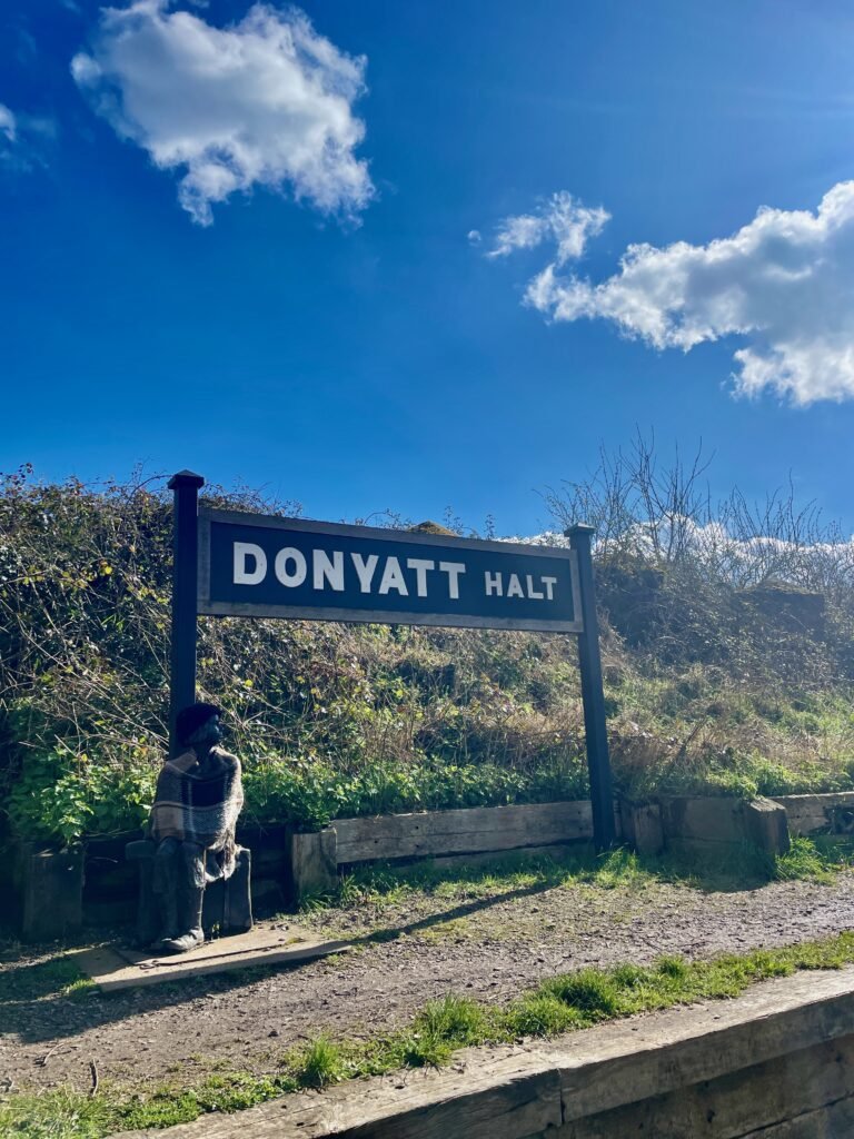
Between Chard and Ilminster, the line is around 4.1 miles each way and largely follows the track of the old Great Western Railway. As you pedal, you’ll be treated to views of rolling hills and farmland. Look out for Victorian bridges and disused train station, Donyatt Halt where local legend ‘Doreen’ – a statue of a former evacuee girl, sits beside the station sign, as well as other remnants of England’s wartime past; anti-tank blocks and pillboxes. Wildlife enthusiasts will delight in a stop at Chard Reservoir.
Free parking is available at Chard Reservoir (TA20 1HU), with easy access to the cycle path just a short ride along a minor road. Alternatively, cyclists can start from Ilminster – the starting point is just off Canal Way.
So grab your bikes, pack a picnic, and set off on a journey through captivating South Somerset countryside.


Strawberry Line, Yatton to Cheddar
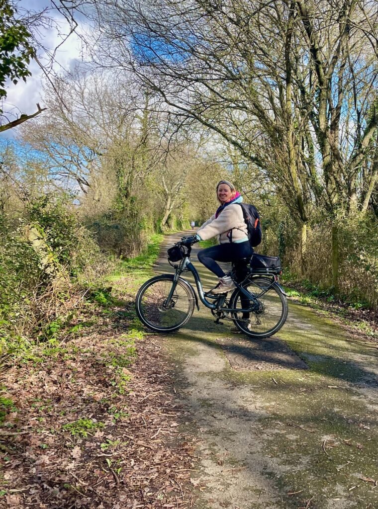
The 10-mile Strawberry Line from Yatton to Cheddar, is a picturesque, family-friendly cycling trail that winds its way through dramatically-changing scenery. From cider orchards, marshes and wetlands, to wooded valleys and the steep cliffs of the Cheddar Gorge. Kids especially, will love the low-lit 165m Shute Shelve Tunnel that cuts through the Mendips – keep a look out for bats that call this home!
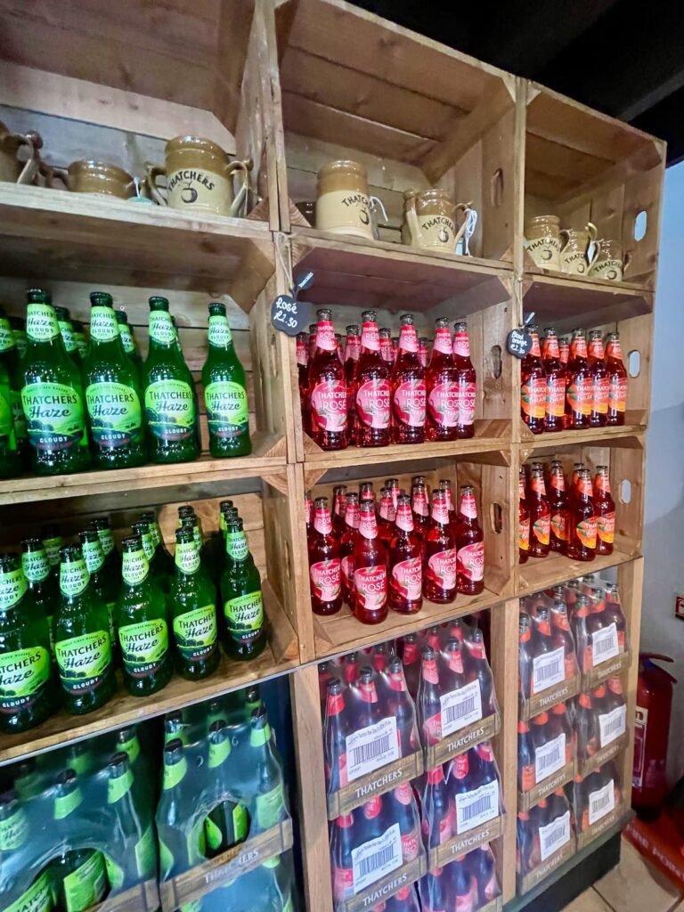
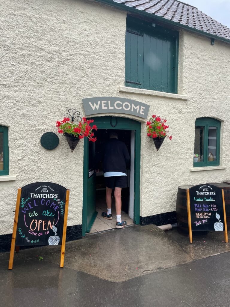
The cycle path, part of National Cycle Network route number 26, traces a former railway line that once transported strawberries (hence the name) from Cheddar to London until the late 1960s. It starts at Yatton Train Station, where you’ll find parking, and will take you around 2-3 hours to reach Cheddar with kids in tow, with lots of places to stop for ice cream, lunch, a picnic or even a cider tasting and tour at Thatchers Cider along the route.
If that sounds too long for your little ones, it is possible to access The Strawberry Line from different points to be made shorter or longer to suit. Main access points can be found as above, and at Congresbury, Sandford, Winscombe, Axbridge and Cheddar Reservoir.
With the exception of the on-road section that runs through the heart of Axbridge, the route is mostly off-road and traffic-free. The path is predominantly flat with no steep gradients (just a few small hill sections) and rideable in most weather. However, it is a tad potholed in parts, and can get muddy after rain.
No bikes? No problem. Browse Yuup’s range of Strawberry Line experiences on their website and combine bicycle hire for the whole family with a picnic lunch included. The cycling days out are hosted by Strawberry Line Cycle Project, a not-for-profit community-run service at Yatton Station car park.
Bittern Trail
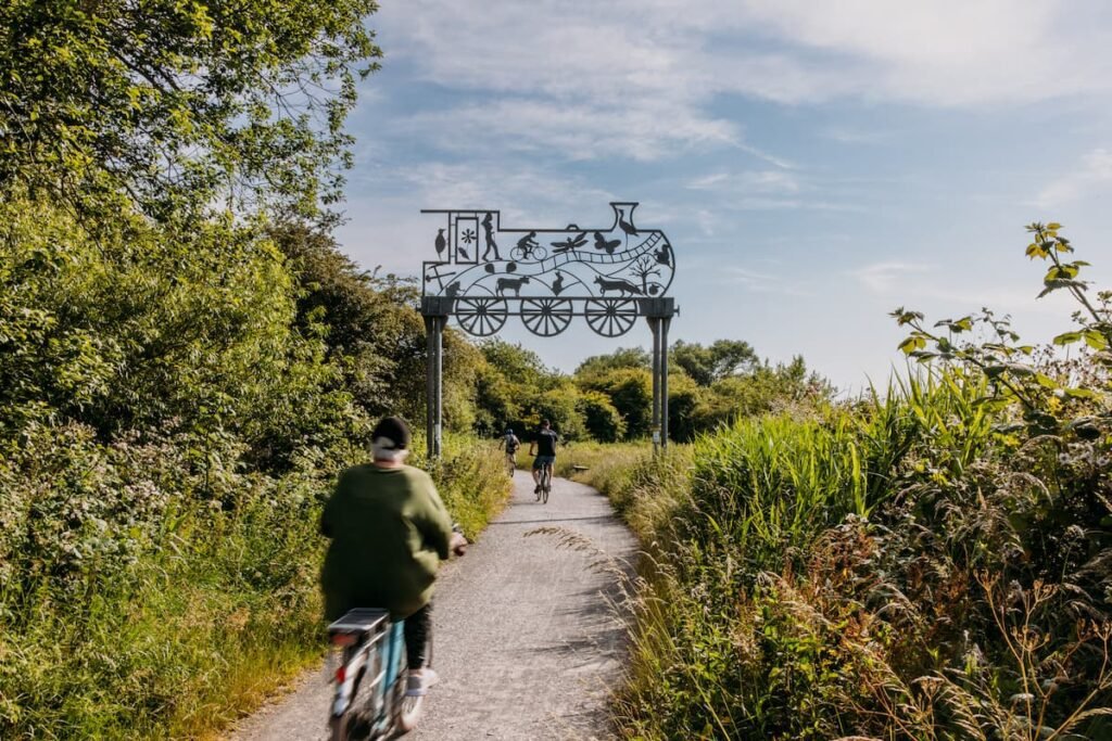
Named after a rare type of heron that calls these wetlands home, The Bittern Trail offers a serene journey through the heart of Somerset’s wetlands and a glimpse into the region’s rich biodiversity and natural beauty. Meander along four flat miles of Avalon marshes, reed beds, and tranquil waterways – important wildlife sensitive areas, from Shapwick Heath Nature Reserve to Glastonbury.
Home to one of the biggest bittern populations in the UK, the cycling trail offers opportunities to spot these birds, as well as a variety of wildlife. Reward weary legs at The Marshes Hub Tea Stop café or one of the many cafes in Glastonbury.
Bristol to Bath Railway Path: traffic-free cycle routes Somerset
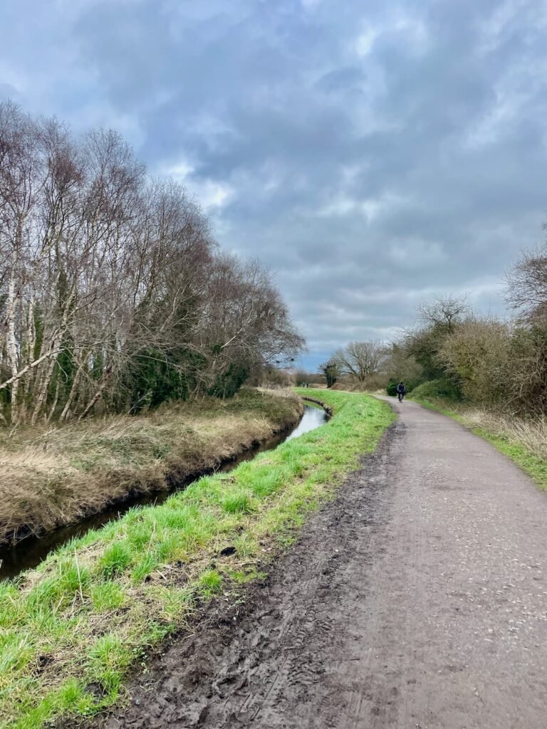
The Bristol and Bath Railway Path, pioneered by cycling charity Sustrans, was the UK’s inaugural entirely off-road cycle route. Stretching 13 flat miles, it’s ideal for a day trip out of the city, with beautiful scenery, cafes (Bitton and Warmley Station are popular) and country pubs (try Saltford) en route for pit stops.
The path also features a variety of sculptures and working steam engines at the old train station at Bitton. If youngsters (and adults!) can’t make it back on two wheels, a return journey by train back to Bristol takes just 13 minutes.

Brean Down Way
The Brean Down Way, an eight-mile trail forming part of Sustrans route 33, connects Weston-super-Mare’s Grand Pier to Brean Down. This scenic route opened in July 2018 and leads keen walkers and cyclists through Uphill, passing The Boathouse Cafe, the Great Bird Screen of Brean (which protects roosting birds on tidal mud flats), sluice gates, and the Walborough Nature Reserve on the River Axe estuary. Keep your peepers peeled for birds including peregrine falcon, dunnock and kestrel in this area. The ride culminates at Brean Down Fort, a Victorian naval fortification designed to protect the Bristol Channel.
Offering breathtaking views of the North Somerset coast and minimal traffic, the route is ideal for families, thanks to its predominantly flat terrain. Subject to tide conditions, cyclists can opt to ride along the beach in two sections instead of following the path – a highlight for kids!
To go there-and back from Weston takes around 1.5 hours, although, depending on energy levels, keen pedallers can extend the cycle along Route 33 to Burnham-on-Sea, or opt for shorter sections.
Hire bikes at Brean or eBikeUFO in Weston.
Best places to eat in Weston-super-Mare
Bridgwater and Taunton Canal
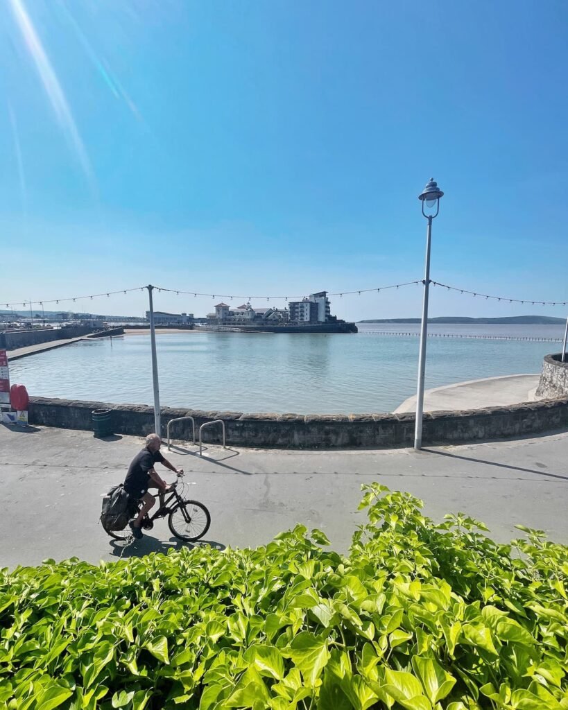
Running parallel to the 14.5-mile Bridgwater and Taunton Canal, this flat towpath links Bridgwater Docks to the River Tone in Taunton. Mostly rural, the canal offers an excellent route for those seeking some child-friendly cycling.
You can access the towpath from most road bridges crossing it: Bridgwater Docks (TA6 3HR), Kings Lock (TA7 0BG), Maunsel Lock (TA7 0DH), Charlton Engine House (TA3 5PF), Creech St. Michael (TA3 5PZ), Bathpool (TA2 8BZ), or Firepool Lock (TA1 1AJ), all of which have nearby parking.
Keep an eye out for planets along the cycle path! Somerset Space Walk, a scaled model of the solar system, designed by Tauntonian inventor, poet, and astronomer Pip Youngman extends in both directions from ‘the sun,’ located at the canal’s midpoint, Maunsel Lock.
Best saved for drier days, as sections of the towpath can get muddy.
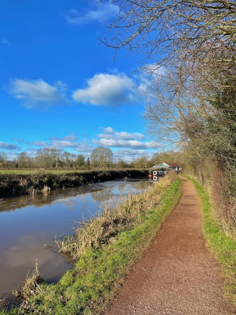
Bristol to Pill
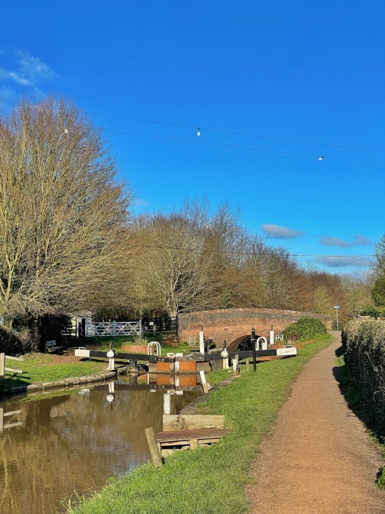
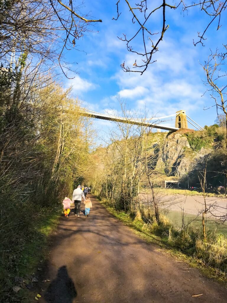
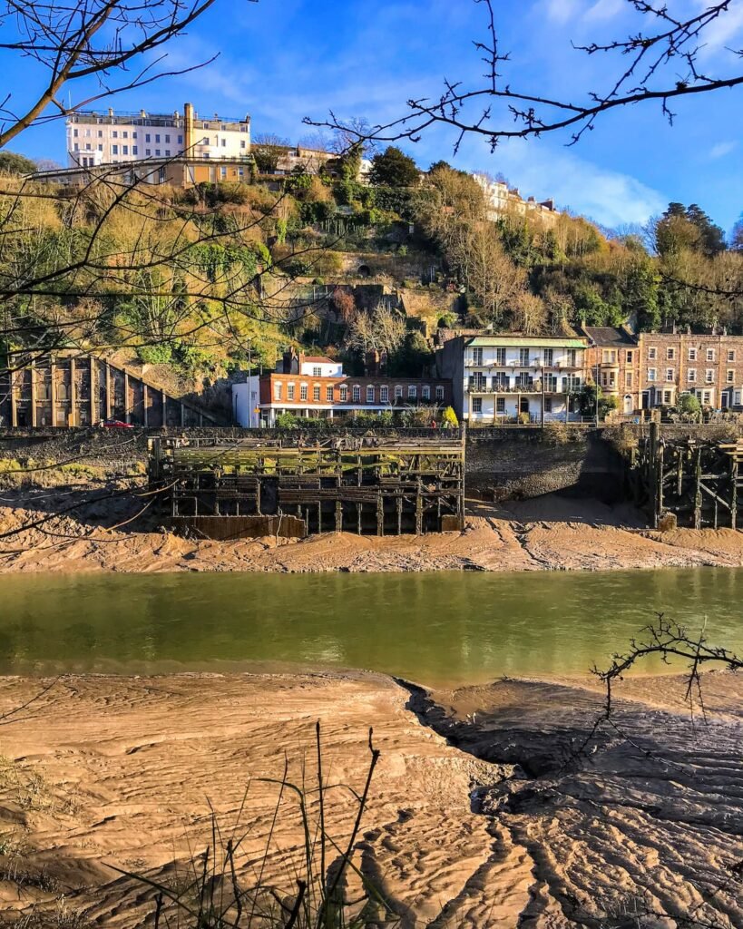
Part of this city to coast route used to make up part of my commute, when I worked at Penny Brohn in Pill. You can pick up cycle route 41 anywhere from Queen Square to the Create Centre near the Cumberland Basin where you can join the Ashton to Pill path.
The cycle path then leads you along the bottom of the Avon Gorge, under the iconic Clifton Suspension Bridge, all the way to Pill. Strong pedallers could take the route all the way to the Portishead, although if doing a return journey, this might be a stretch for little legs.
Save for drier days as the route can get muddy!

The Pier to Pier Way – coming soon!
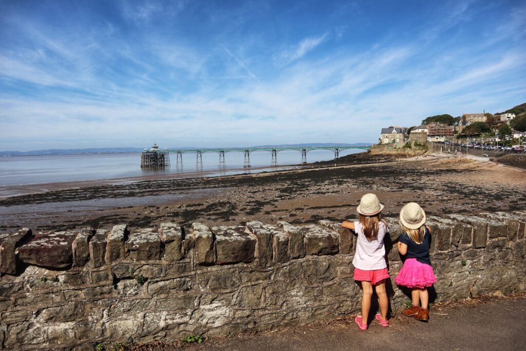
The Pier to Pier Way is a new 13-mile cycle route linking North Somerset’s Weston-super-Mare Grand Pier and Clevedon Pier, due to be opened at the end of June 2024. Aimed at commuters and tourists, it will feature quiet roads and traffic-free sections.
With the Brean Down Way already completed, it means that a direct cycle route will soon exist all the way from Brean to Clevedon. In the future there are also plans to extend the route to Portishead, joining existing routes to Bristol.
The complete route will be marked with bespoke ‘Pier to Pier’ signing and will take cyclists along Weston promenade to Weston Marine Lake, through the village of Kewstoke to a new one-mile traffic-free route crossing the Yeo and Oldbridge rivers (which allows pedestrians, cyclists and equestrians to avoid the busy A370 and save four miles on their usual journey).
28+ Things to do in North Somerset

Liked this post on Somerset bike trails? Discover more things you can do in the county:
8 Vineyards in Somerset to go wine tasting




2 Comments