River Parrett Trail Langport walk 3.4 miles (circular)
 "River%20Parrett%20Trail%20Langport%20walk%203.4%20miles%20(circular)")

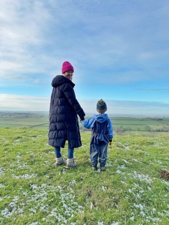
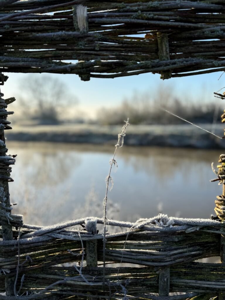
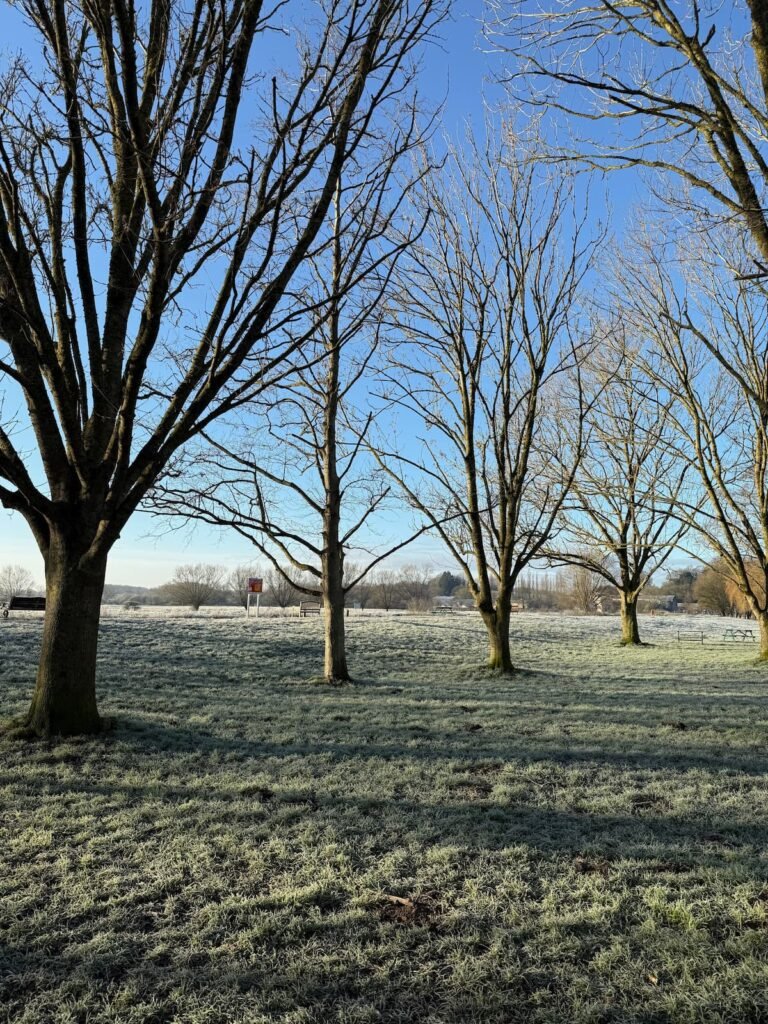
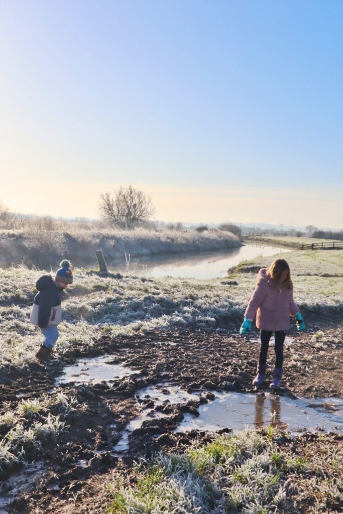
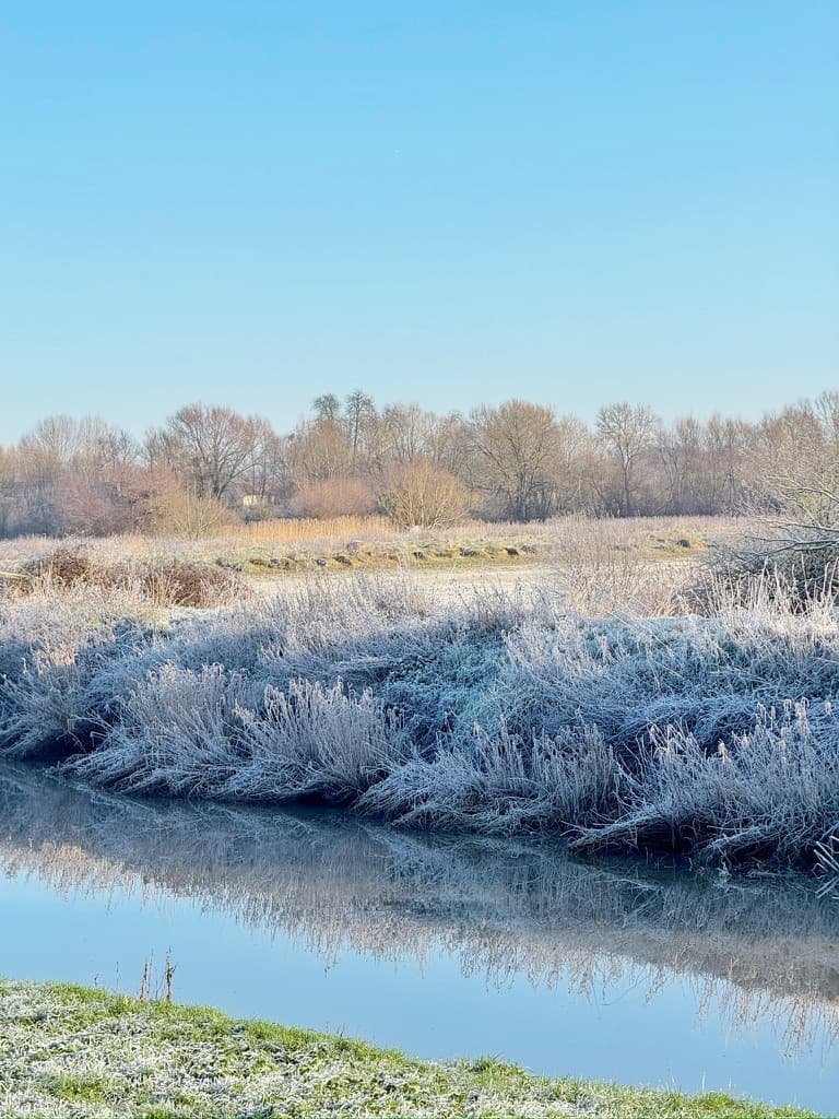
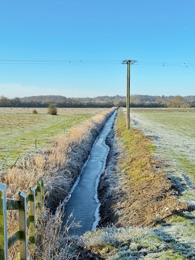
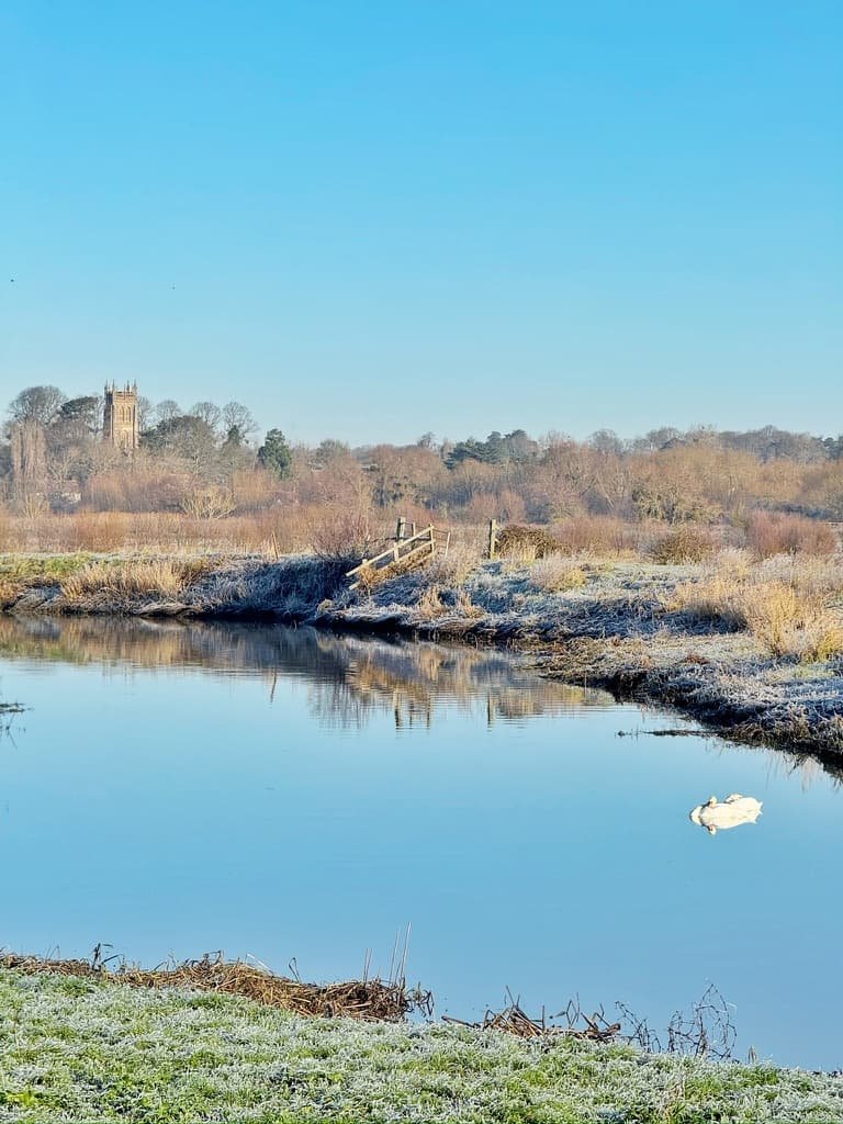
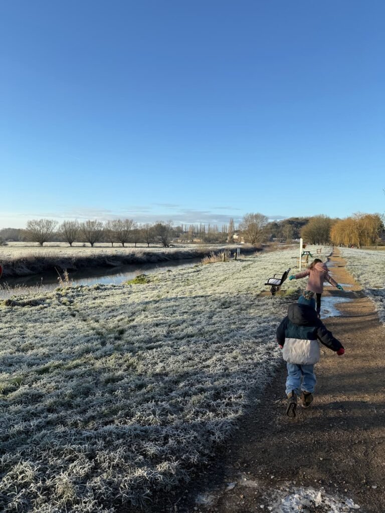
The best kind of January mornings begin with an ombre sunrise melting into brilliant blue skies. The air is crisp and cold, the landscape frost-kissed – everything shimmering under winter’s white breath. With temperatures below freezing, the world outside on this particular January morning felt like a snow globe come to life.
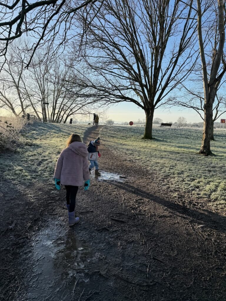
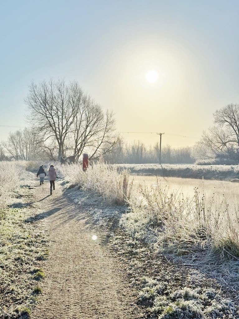
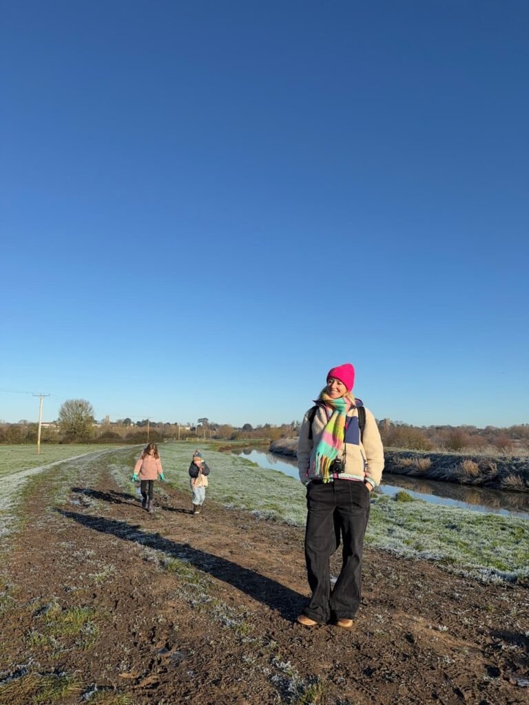
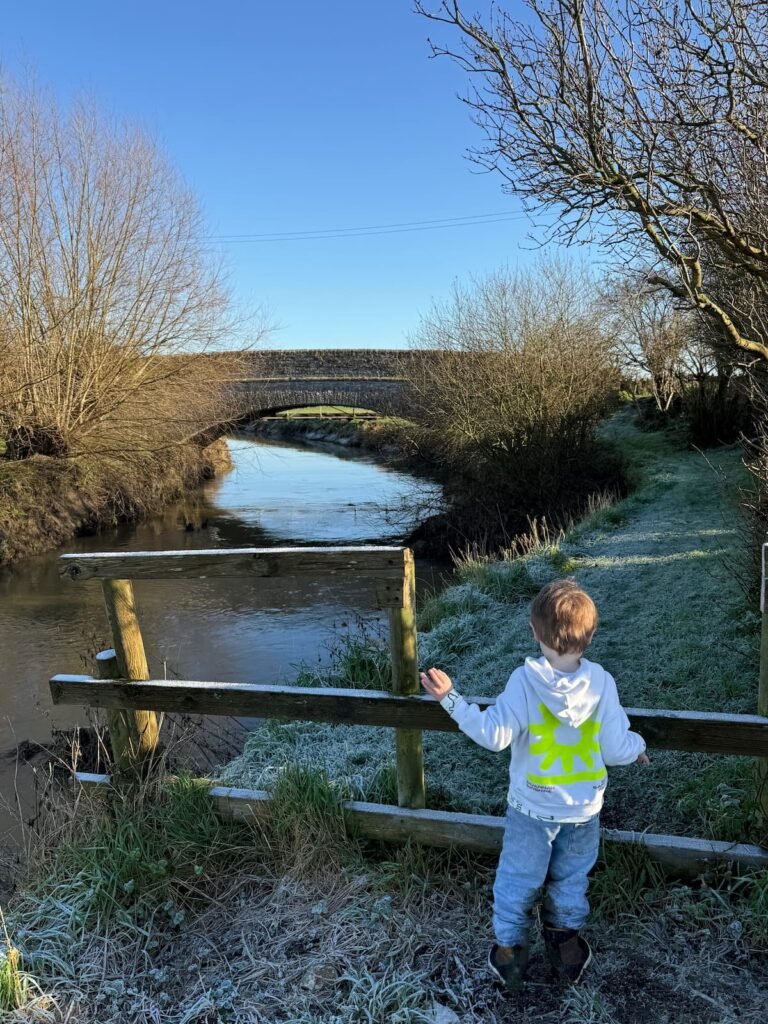
Rallying the kids (no easy task when they were still in full Christmas holiday mode), I was desperate to get out of the house early to make the most of the icy weather. But where to go to make the most of this rare, frosty winter’s day? The River Parrett Trail in Langport sprang to mind. A scenic, flat walk by the water could be followed up with a hot chocolate from a riverside cafe as a reward.
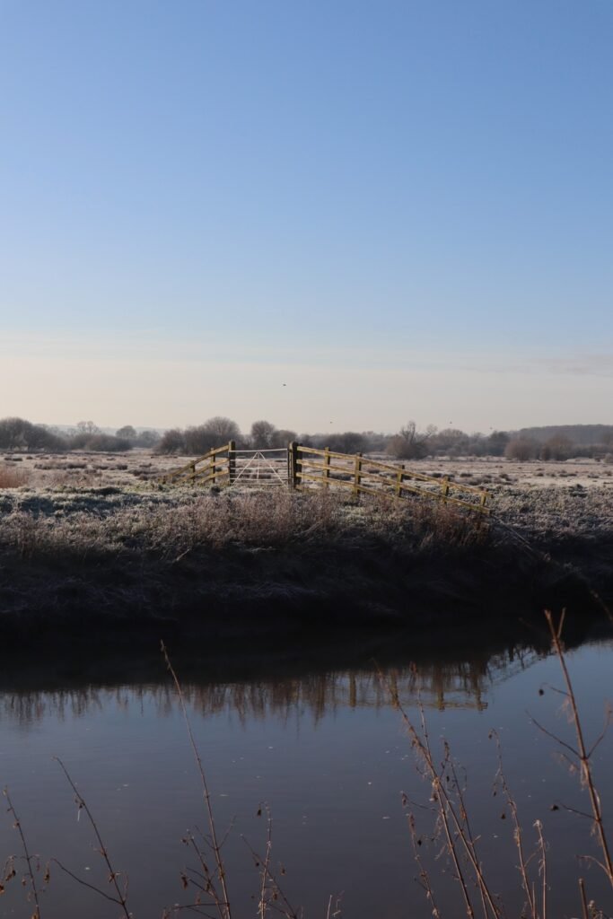
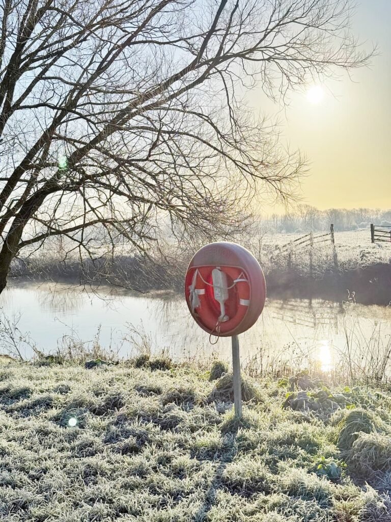
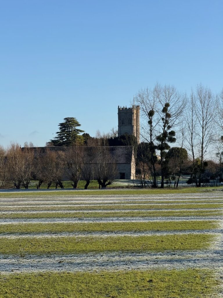
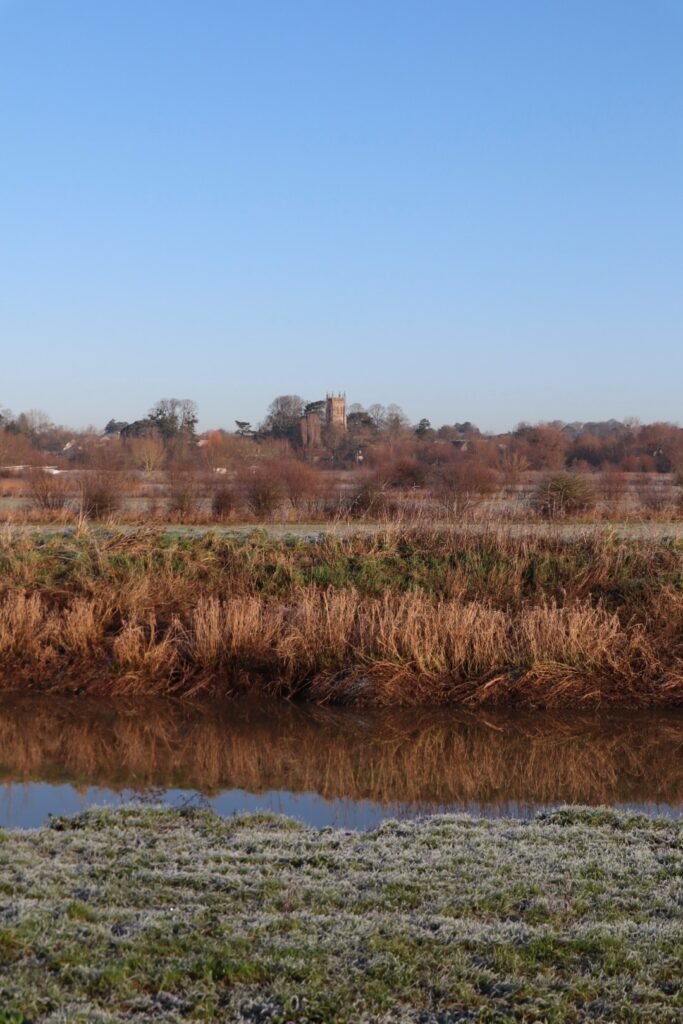
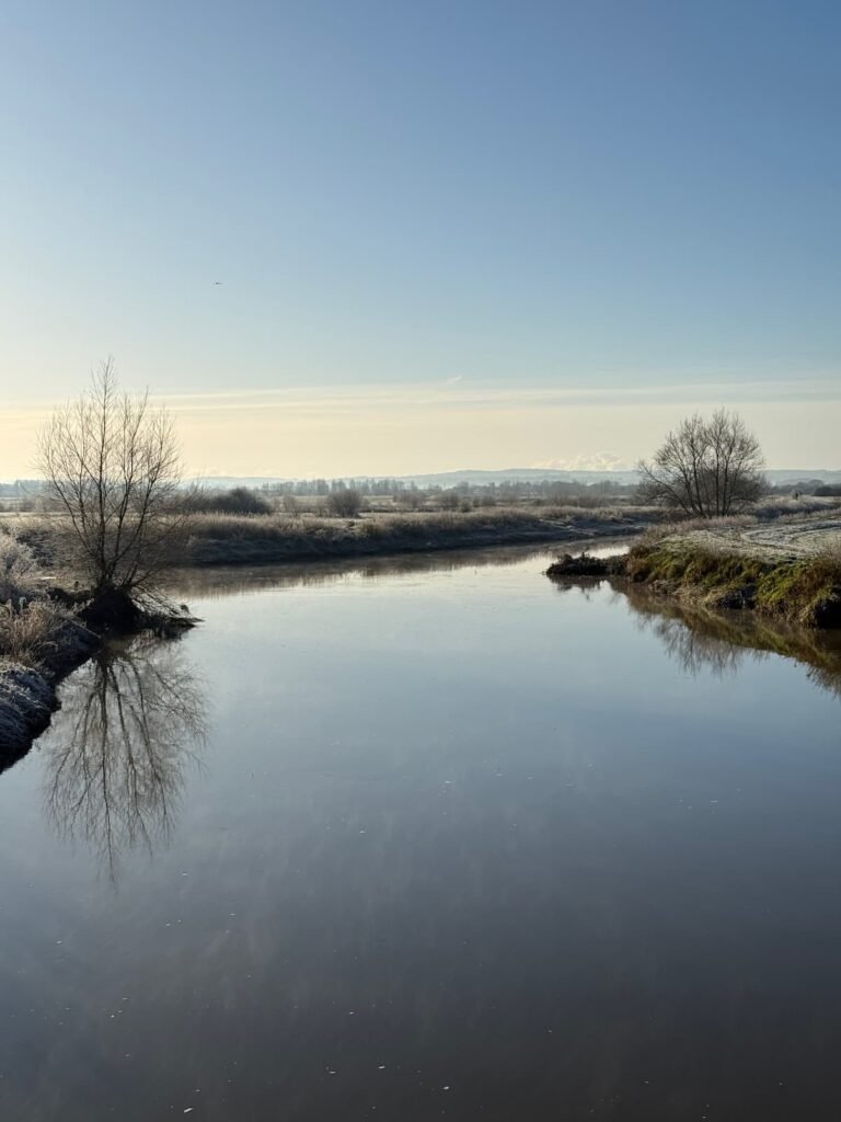
I’d only ever paddleboarded this stretch on a scorching summer’s day, so this was my first time walking the full route from Langport to Muchelney Abbey – and wow, what a treat! The frosty landscape, the swan-topped river, the crunch of frozen grass underfoot… absolute winter magic.
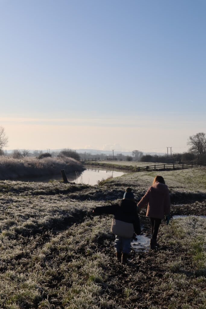
This route is flat and easy to follow (you’re literally just following the river), but I’ll be honest – it was a TINY bit too long for my four year old. If I did it again, I’d probably stop around Perrymoor Bank and turn back instead of pushing on to Westover Bridge and looping back on the opposite bank.
Why? Because the last stretch actually takes you away from your end destination before bringing you back, which feels tough when little legs are already getting tired!
The walk took us around an hour and a half, but we were stopping A LOT to play with the ice puddles, dust away the frost with gloved hands and had to double-back on ourselves to search for a lost glove!
Love Somerset? Why not follow me on Instagram, or join the Down Somerset Way Facebook group?
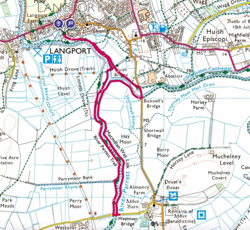
Map of Langport River Parrett circular walk
On all the Somerset walks featured on this website, I have used the OS Maps app, but it’s a good idea to have an Ordnance Survey paper map as well (Somerset isn’t renowned for its phone signal!) For this walk you need the OS Explorer Map Explorer 129 Yeovil & Sherborne.
The route below follows an anti-clockwise direction (you can just make out the small white arrows) starting at the purple pin marker (Cocklemoor Car Park – postcode TA10 9PD) and finishing back at the car park, shown by the purple flag sign.
Summer: I think cows are sometimes kept in these fields during summertime, so if you’re not a fan, maybe save this for a winter walk.
River Parrett Langport-Muchelney Abbey circular walk info:
DISTANCE OF WALK: 3.6 miles
WALK TYPE: Circular
PARKING: Cocklemoor Car Park, Langport Town Centre. Click here for Google Map Point. Postcode: TA10 9PD. Free parking (go in the long stay section of the car park).
WALK HIGHLIGHTS: Scenic countryside views, flat walking terrain, cafes, bakeries etc in Langport at the end.
HOW LONG DOES IT TAKE: About an hour and a half
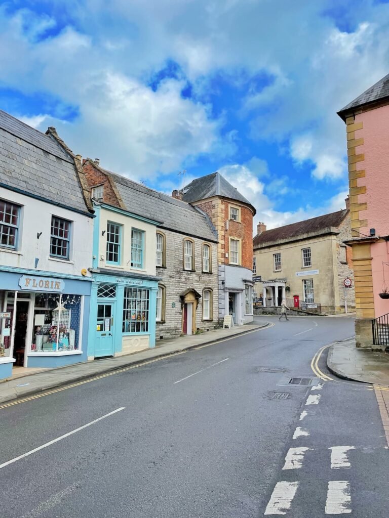
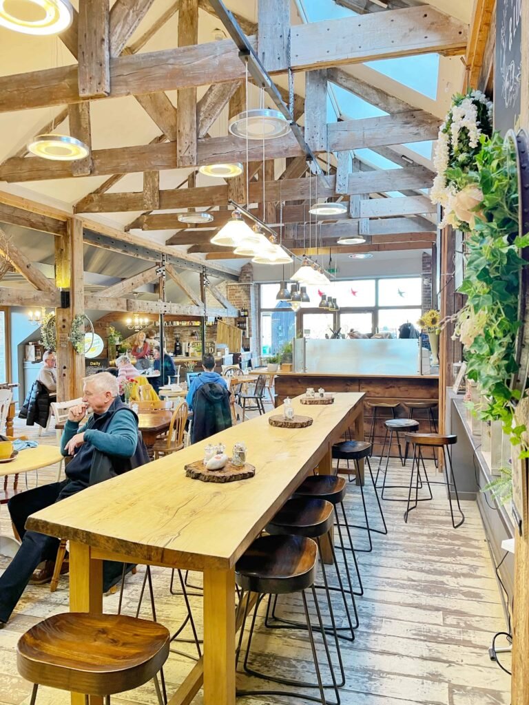
PUBLIC TOILETS: There are no public toilets on this walk, but you could always pop into a cafe at the end. I recommend Kiln Cafe, Kitchen at The Wharf and The Bridge Bakery and Canteen.
Langport-Muchelney walk route
- START: Click here for Google Map point
- Grid reference: 4199 2664
- Postcode: TA10 9PD
- what3words: ///finest.cubed.kilowatt
Route follows an anti-clockwise direction.
River Parrett riverside walk Langport instructions
1. Start: Park in the Long Stay section (free) at Cocklemoor Car Park in Langport TA10 9PD.
2. Head to the river path and turn left, keeping the river on your right.
3. Continue straight along the riverside path until you reach a small car park and Huish Bridge. Head right, to cross over the bridge to the other side of the river.
4. Go through the gate/stile into the field beside the river a short way along Huish Drove Track. Once in the field, continue straight ahead, alongside the river, keeping the river on your left.
5. Follow the River Parrett Trail alongside the river for about a mile, until you reach Westover Bridge near Muchelney Abbey.
6. Cross the bridge over the River Parrett, then immediately turn left again to follow the footpath back along the river (Macmillan Way link). If you wanted to extend your walk to visit English Heritage’s Muchelney Abbey you could do so here, although do be aware it closes for winter.
7. Follow the footpath parallel to the river for around a mile, with the river on your left. The path will take you through fields and farmland, following waymarkers. After a mile, you will start to curve round to the right.
Head towards Bicknell’s Bridge (the path here runs very close to the river) and turn left, walking along the road for a short distance to cross over the river.
8. Once you’ve crossed Bicknell’s Bridge, look out for the footpath on the left hand side. Cross back into the fields alongside the river.
9. Heading back towards Langport with the river on your left. Return to Cocklemoor Car Park.
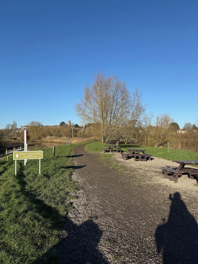
10. If you’d like a bite to eat, or a drink to refuel in Langport after your walk, I recommend Kiln Cafe, Kitchen at The Wharf and The Bridge Bakery and Canteen.
Liked this post on family-friendly Langport river Parrett walk? You might also like:
- Chard reservoir circular walk, 2.5 miles
- Wayford Woods easy circular walk, 1.1 miles
- 14 Buggy and pram friendly walks Somerset
Down Somerset Way is a free online resource designed to help you plan your Somerset adventures. If you’ve found it helpful, you can show your support by buying me a coffee. Thank you!